Located 75 kilometres south - west of Melbourne, the municipality covers an area of 1,252 square kilometres, comprising suburban, coastal and country areas.
CSF - Our community
Greater Geelong is bound by the Moorabool Shire in the north Wyndham City Council and the Borough of Queenscliffe in the east Surf Coast Shire and Golden Plains Shire in the west and Bass Strait in the south.
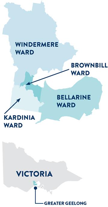
Figure 1: The City of Greater Geelong ward map and context map
Fast facts
- Population: 271 057
- Median age: 39 years
- 14 000 residential (category P) streetlights replaced with LEDs with smart controllers
- 4 178 removal jobs recorded on the VICGR (graffiti reporting application) by our graffiti team
- 14 745 square metres of graffiti reported and removed by our graffiti team in 2021 - 2022
- 130 closed - circuit television cameras (CCTV) across the network
- 1 946.43 kilometres of footpaths maintained
- 2 007.94 kilometers of sealed roads maintained and 371.6 kilometres of unsealed road surfaces.
Page last updated: