About the map
The Bellarine peninsula offers cyclists a variety of routes.
The map includes information about places of interest, amenities, major/arterial roads, trail types and routes between towns. Residential areas have many quiet streets suitable for cycling.
Cycle safe
- Different bikes suit different surfaces. Road bikes are best on sealed roads while hybrid bikes can handle most surfaces.
- Ensure your bike is well maintained. Wear an approved helmet and suitable bright clothing. Carry a pump, basic repair kit, spare tube and mobile phone. Have a water bottle, basic provisions and use sunblock. On roads, front/rear lights and a rear view mirror are valuable.
- Choose your route according to your ability, fitness level, time available and weather conditions. Travel at speeds suited to local conditions and capability of riders.
- On shared trails and local tracks, look out for walkers, dogs and horse riders. Keep to the left and use your bell or voice to warn others of your approach. Be courteous, slow down when overtaking and call ‘passing on your right’.
Stay informed
- Bicycle Network’s website has useful tips and resources.
- Google Maps has a useful bike directions feature.
- Fellow cyclists are always happy to share their local knowledge too!
Visit the Bicycle Network website for tips and resources.
While all care has been taken in the preparation of this map, things change and users must respond to the current situation.
If you have feedback on the map or would like to request copies contact [email protected].
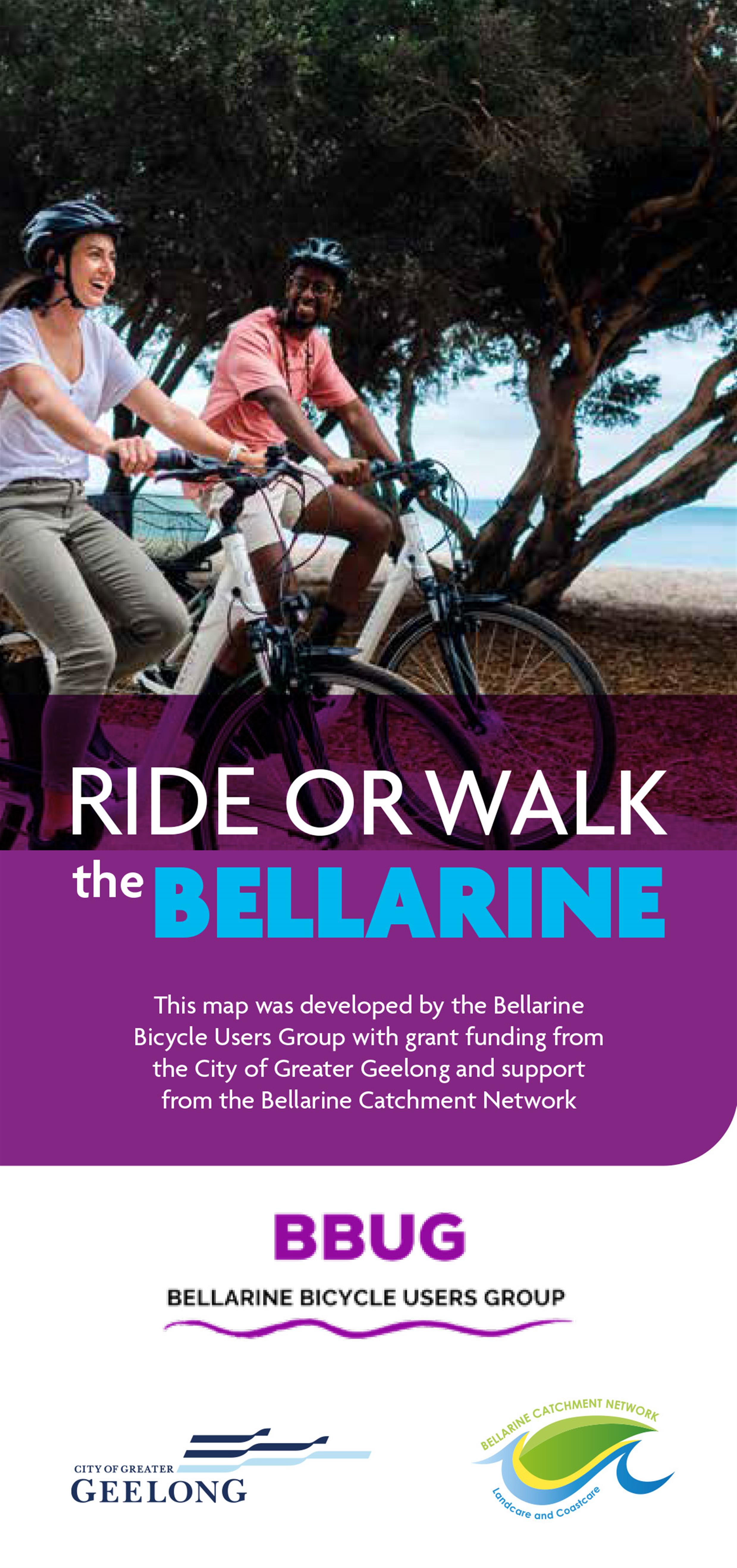
This map was developed by the Bellarine Bicycle Users Group with grant funding from the City of Greater Geelong and support from the Bellarine Catchment Network.
Types of cycling routes
Rideable roads and trails on the Bellarine have been classified into four types:
- Shared off-road trails
Separated from roadways, shared trails and paths offer car-free riding pleasure. Be sure to give way to walkers and their dogs. - Unsealed roads
Quieter back roads are suitable most of the year. Conditions can vary depending on recent weather and road maintenance. - Local tracks
Often narrow, and shared with walkers, these tracks and paths may not be well maintained or inaccessible in wet weather - Sealed roads
Major and arterial roads were rated using a rideability schema that considered road speed limit, traffic volume, vehicle types and the riding corridor ie. shoulder.
The two grades are:
- Yellow - suited to less confident riders
- Orange - suited to more experienced riders
White roads were ungraded.
Popular rides
Shared trails
- Bellarine Rail Trail: 35 kilometres - Easy shared trail from Geelong Showgrounds via Drysdale to Queenscliff railway station
- Bellarine Coastal Trail: 17 kilometres - Easy shared trail from Pt Richards boat ramp Portarlington to Edwards Point Reserve, St Leonards
- Drysdale Ring Road Path: 6 kilometres - Easy shared trail beside the Drysdale bypass road
- Griggs Creek Path: through Curlewis
- Point Lonsdale: shared path along the seawall promenade
- Ocean Grove to Barwon Heads: from Golf Club car park along the Barwon River
- Ocean Grove to Barwon Heads: from Surf Lifesavers Club beside the dunes to the bridge
Sealed roads - Yellow
(suited to less confident riders)
- Ocean Grove to Point Lonsdale - Shell Road - narrow shoulder
- Queenscliff to Point Lonsdale - Point Lonsdale Road (C127) - narrow shoulder
- Ocean Grove to Barwon Heads - Barwon Heads-Ocean Grove Road (C129) 40-60 kilometres per hour (kph), narrow shoulder
- Drysdale to Clifton Springs - Jetty Road - Bay Shore Avenue - Whitcombes Road - some shoulders
Sealed roads - Orange
(suited to more experienced riders)
- Geelong to Queenscliff - Bellarine Highway (B110) busy, good shoulder
- Geelong to Drysdale - Portarlington Road (C123) 100 kph, busy, good shoulder
- Drysdale to Portarlington - Portarlington Road (C123) 80 kph, narrow shoulders
- Drysdale to St Leonards - Murradoc Road (C125) 100 kph, narrow shoulders
- Portarlington to Queenscliff - Queenscliff Road (C126) 80-100 kph, no/narrow shoulders
- Drysdale to Ocean Grove - Grubb Road, narrow shoulders
- Barwon Heads to Breamlea - Thirteen Beach Road 60-80 kph, no shoulders then shared trail to Breamlea Road
Visit the Bellarine Rail Trail page to learn more.
Popular walks
Walking is free fun that improves our health and wellbeing.
Most walks on the Bellarine are ‘easy’.
Shared trails
Keep left. Be aware and considerate of other users.
Move off path when stopping. Keep your dog on a lead.
- Portarlington~Indented Head~St Leonards: Bellarine Coastal Trail (17 kilometres )
- Geelong~Drysdale~Queenscliff: Bellarine Rail Trail (35 kilometres )
Beach walks
Be mindful of the tide, weather and beach-nesting birds.
- Clifton Springs: The Dell
- Portarlington: foreshore promenade
- Indented Head: Beach 2 Bush Walk*
- Queenscliff~Point Lonsdale: beach and promenade
- Ocean Grove: beach and hinterland tracks
- Barwon Heads: Thirteenth Beach clifftop path
Nature reserves
- Portarlington: Pt Richards Flora & Fauna Reserve
- St Leonards: Edwards Point Wildlife Reserve*
- Ocean Grove: OG Nature Reserve
- Leopold: Gateway Sanctuary
Waterways
- Curlewis: Griggs Creek - Gurnang Walk
- Drysdale: Lake Lorne loop
- St Leonards: Lake Reserve Trail*
* Visit Victoria Walks for more info on these and other walks.
Koling Wada-Ngal - Let’s walk together
We acknowledge the Bellarine Peninsula is Wadawurrung Country. They call it Ballawiyn ~ a place of resting by the fire.
Lookout for Bundjil, the wedge-tailed eagle, their Creator Spirit.